Proximity Feedback in Games: Read Your Hints Like a Pro
Discover how proximity feedback enhances gameplay with distance, direction, and accuracy hints, transforming your guessing into a strategic challenge.
- game design feedback loops
- how proximity feedback works
- interactive game design elements
- proximity feedback explained
- feedback systems in gaming
- user engagement in games
On this page

Proximity feedback is the distance-and-direction hint a game gives you after each guess. Type “Tokyo” and get back “1,200 km ↗” — that means the target city sits roughly 1,200 kilometers northeast of Tokyo. Wrong answer, but a genuinely useful one.
After every guess in a city-guessing game, you typically see three pieces of information:
- Distance — how far your guess is from the target (in kilometers or miles)
- Direction — a compass arrow or NESW label pointing from your guess toward the answer
- Proximity % — a closeness score, where 100% means a perfect hit and 0% means you’re on the opposite side of the planet
That trio turns each wrong answer into a navigational probe. Research on gamification in geography education consistently links instant feedback like this to higher engagement and better short-term retention — which is exactly why the format caught on so fast.
Key takeaways
Proximity feedback turns every wrong guess into a directional clue, and players who read distance plus bearing together narrow the answer in two to three guesses instead of six.
| Point | Details |
|---|---|
| What it is | Distance + compass direction after each guess — e.g., “1,200 km ↗” |
| How % is calculated | Distance mapped linearly against a 20,000 km reference to produce a 0–100% closeness score |
| Best first guess | Start with a centrally located city (Istanbul, Nairobi) to get a long-range bearing fast |
| Triangulate, don’t guess randomly | Follow the arrow, then bisect the remaining distance each round to converge in 2–3 guesses |
How does a game calculate distance and direction?
The math behind proximity feedback is cleaner than you might expect. Games don’t use driving routes or road networks. They calculate the great-circle distance — the shortest path between two points on a sphere — using the haversine formula applied to each city’s latitude and longitude coordinates. That’s why a guess of “Madrid” might read “900 km southwest” even though no straight road connects the two cities.
Direction works the same way. The game computes the bearing from your guessed city to the target city, then converts that angle into a readable compass label (N, NE, E, and so on) or a small arrow icon in the UI.
The proximity percentage uses a simple linear scale. Developer implementations commonly set a maximum reference distance of 20,000 km — roughly half Earth’s circumference — and map your actual distance onto a 0–100% scale from there.
A few technical details worth knowing:
- Games pin coordinates to a city center point, not a city boundary, so a guess near the edge of a large country can still read as surprisingly warm.
- Most games round distances to the nearest 10 or 100 km to avoid leaking exact coordinates.
- km/miles toggles are a common fairness feature for players in different regions.
What does the feedback UI actually look like?
City-guessing games display proximity feedback in a handful of recognizable formats. Knowing which format you’re reading helps you extract the right information fast.
- Numeric distance + compass arrow — the most common layout; gives you both magnitude and direction in one line (e.g., “3,450 km ↙”)
- Proximity percentage + color band — a heat-style bar or color-coded row that shifts from red toward green as you close in; great for a quick visual scan
- Map pins with color coding — each guess drops a pin on a mini-map, colored by closeness; useful for seeing your guess cluster at a glance
- Progressive text hints — some games unlock country or region hints after a set number of guesses, layering context on top of distance data
The visual clues in map-based quizzes reinforce spatial memory in ways that text alone doesn’t. Each format tells you something slightly different, and the best games combine at least two.
Pro Tip: Distance plus bearing is the most reliable combination for triangulation. Color-only heat cues tell you “warmer or colder” but not which direction to move — always prioritize the numeric distance and compass arrow when you’re trying to narrow down a region.
Why does immediate feedback actually help you improve?
Binary right/wrong feedback teaches you almost nothing about geography. Distance-and-direction feedback teaches you that Nairobi is southeast of Cairo, that Istanbul sits at the crossroads of two continents, and that your mental map of Central Asia is probably off by a few thousand kilometers. That’s a fundamentally different learning experience.
The 2026 Frontiers in Education review synthesizes 40 peer-reviewed studies published between 2019 and 2024, and finds that game elements like points, badges, and feedback tend to increase motivation, with the strongest effects in the short term and weaker ones over longer programmes. The review reads those effects through Self-Determination Theory, which maps onto proximity feedback neatly: distance feedback satisfies competence (you can see progress), directional choice satisfies autonomy (you decide the next guess), and shareable results satisfy relatedness.
Leaderboards pull a different lever than proximity feedback, and it helps to keep the two apart. A distance hint tells you how you are doing against the puzzle. A ranked board tells you how you are doing against other people. Competitive platforms have pushed the second idea furthest, and a guide to leaderboard gamification mechanics written for fantasy sports makes the trade-offs clear: segmented, time-limited, or friends-only boards keep more players within reach of a win than one permanent global ranking does, because a global list quickly tells most people they have already lost. Proximity feedback needs none of that scaffolding. Every guess is scored against the map rather than against the crowd, which is why a city game can stay motivating with no ranking at all.
A 2024 MDPI classroom experiment with 80 fifth-graders compared two feedback conditions in primary-school geography. One group saw only the correct answer, the other saw extended, analytics-based feedback. The richer condition improved motivation and lifted the performance of engaged students. Players report something similar: proximity hints feel more useful than a bare right or wrong, and that perception keeps them coming back.
A small classroom study on interactive geography tools reported roughly 90% expert validation and significant pre/post score gains, with authors attributing the improvement partly to instant in-game feedback. Small sample, but a coherent signal.
How to use proximity feedback to guess smarter
You don’t need six guesses if you use the first three strategically. Here’s a simple triangulation sequence:
- Start with a well-known, centrally located city — think Istanbul, Nairobi, or Mexico City. These cities sit near major geographic crossroads and give you a long-range bearing fast. If the feedback reads “4,200 km ↗,” you’ve already ruled out two continents.
- Follow the arrow to a city in that direction — pick a city roughly 4,000 km northeast of your starting point. The new distance tells you whether you overshot or undershot. If it drops to 800 km, you’re close. If it barely moves, you need to shift laterally.
- Split the remaining distance — guess a city roughly halfway between your last guess and the implied target. Distance feedback converges fast when you bisect the gap each round.
Pro Tip: When two cities are equidistant from the target but in opposite directions, trust the compass arrow over the proximity %. The arrow tells you which side of the midpoint you’re on; the percentage alone can’t.
Check out quiz patterns and tricks for more tactical approaches that apply across game formats.
What proximity feedback doesn’t tell you
Proximity feedback has real limits, and knowing them saves you from chasing bad signals.
- Centroid bias — large countries like Russia or Canada have geographic centers far from their major cities; a “warm” reading near the centroid might still be 1,500 km from the actual answer city.
- Ambiguous bearings — near the poles, compass bearings compress and become less useful for east/west discrimination.
- Curation gaps — games choose which cities to include; obscure or small cities are often excluded, so your mental model of “possible answers” should skew toward major population centers.
- Rounding effects — distances rounded to the nearest 100 km can make two very different guesses look equally close.
On the fair-play and privacy side, well-designed games follow a short checklist:
- Rate-limit guesses server-side so players can’t brute-force the answer programmatically
- Never expose raw coordinate data to the client — compute distance and bearing on the server, return only the result
- Use text labels alongside color cues so colorblind players get the same information
- Curate city pools carefully to avoid puzzles that are unfairly obscure or geographically ambiguous
The DEV Community developer guide walks through the coordinate handling and distance maths that sit behind these choices.
How Worldlecity shows proximity feedback
Each day, Worldlecity shows you a real photograph of a mystery city and gives you six guesses to identify it. After every guess, you see:
- Distance in kilometers (with a miles toggle available)
- Compass arrow pointing from your guess toward the target
- Color-coded guess row that moves from deep red through orange and yellow to green as you close in
- Photo clues from the city itself, which layer visual context on top of the distance data
Read the distance and the arrow together and your next guess should land in the corridor they point to. The city-guess quizzes on Worldlecity run that same distance and arrow feedback across all four difficulty levels, so the triangulation skills you build in the daily game transfer directly.
How GeoAngles flips proximity feedback around
GeoAngles runs the same distance-and-bearing idea in reverse. You get four known cities on the board from the start, each with an arrow pointing outward from the hidden mystery city toward that known city — the opposite of the daily game’s arrow, which points from your guess toward the answer. Instead of triangulating inward from one guess at a time, you’re triangulating a single hidden point from several outward bearings at once.
The reveal works differently too. Rather than a numeric distance after every guess, GeoAngles sharpens the whole board together as your six guesses run out: the mystery city starts hidden, then resolves through a distance-band color, then rounded-to-500-km rings, then the exact distance. You still pick your answer from a searchable city list, same as the daily game, so spelling is never the obstacle.
If the daily game trained you to read “guess toward the arrow,” GeoAngles is worth a try specifically because it flips that skill: reasoning from several outward bearings to one point, rather than chasing a single inward bearing guess by guess.
Ready to put it into practice?
Worldlecity gives you a fresh city photo every day and six guesses to crack it — free, no account needed, and shareable so you can compare results with friends.
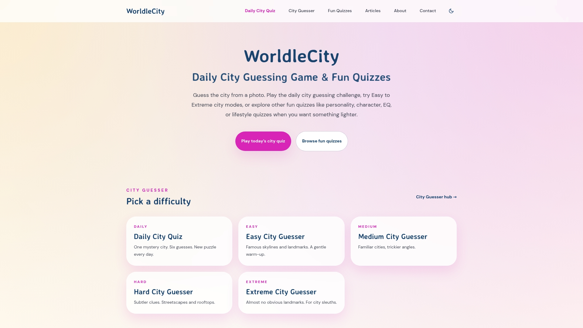
The daily game and the GeoAngles game are one of the fastest ways to turn proximity feedback from a concept into a reflex. You’ll internalize compass bearings, distance scales, and regional geography just by playing. Start today at Worldlecity and see how many guesses you actually need once you’re triangulating on purpose.
Sources
- Frontiers in Education — gamification in school geography (2026)
- MDPI — Moodle feedback experiment (2024)
- DEV Community — building a geographic distance and direction calculator
- Journal UNJ — Wayground (Quizizz-derived) geography learning study
FAQ
What is proximity feedback in a city-guessing game?
Proximity feedback is the distance-and-direction hint you receive after each guess — typically a kilometer count and a compass arrow pointing from your guess toward the correct city.
How is the proximity percentage calculated?
Most games map your distance linearly against a maximum reference distance, commonly 20,000 km, so a guess 5,000 km from the target reads as roughly 75%. Worldlecity uses that same 20,000 km reference.
Does proximity feedback actually help you learn geography?
Yes. A 2026 systematic review of 40 studies in school geography found that feedback and other game elements tend to increase motivation, with the strongest effects in the short term. Classroom experiments comparing plain correct-answer feedback against richer, explanatory feedback point the same way.
Why does a “warm” reading sometimes still feel far off?
Large countries have geographic centroids far from their major cities, so your guess can land near the center of a big country and still be far from the actual answer city in the game’s curated pool.
How does Worldlecity use proximity feedback?
Worldlecity shows the distance in km or miles and a compass arrow after each guess, with the guess row color-coded from red to green as you close in, alongside a real city photograph. That gives you both spatial and visual clues across six attempts.