What Is a Topography Quiz: Examples and Practice Tips
Discover what is a topography quiz, its formats, and practice tips. Enhance your map skills and tackle fun quizzes today!
- what is a topography quiz
- topography quiz definition
- topography quiz examples
- topography quiz for students
- topography assessment questions
- what to expect in a topography quiz
On this page
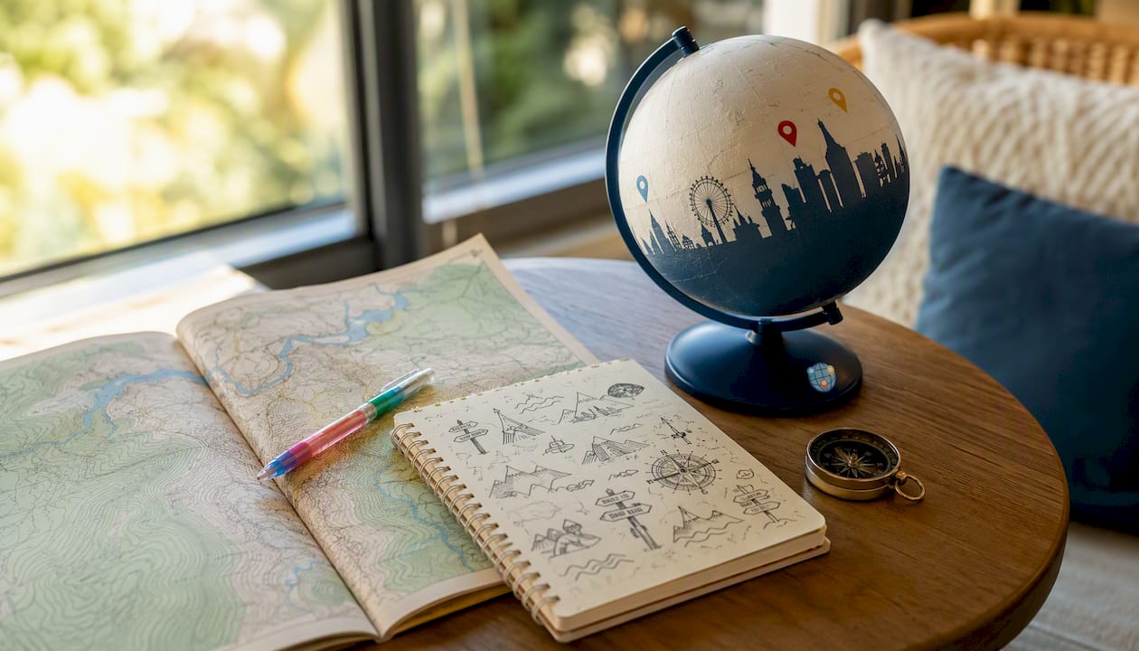
A topography quiz is a short, focused assessment of your ability to read landforms and interpret topographic maps — turning 3D terrain into 2D understanding. Students, educators, and geography enthusiasts all use them. Expect a range of questions and formats like multiple choice and image identification, with completion time varying based on quiz depth.
Quick expectations before you dive in:
- Length: quizzes vary in number of questions depending on purpose and setting
- Formats: multiple choice, identify-on-image, matching, timed games
- Topics: contour lines, elevation, slope, map scale, symbols, and profile reading
- Where to play: browser-based quizzes on platforms like Quizlet, PurposeGames, and ProProfs, most requiring no account to start
What does a topography quiz actually test?
The core skill is reading a 2D map and mentally reconstructing the 3D terrain it represents. Most topography assessment questions cluster around these topic areas:
- Contour lines: Do you know that lines close together mean steep slopes, and lines far apart mean gentle ones?
- Elevation and relief: Can you identify the highest point on a map, or calculate the elevation difference between two points?
- Slope: Given contour spacing, can you determine whether a hillside is gradual or nearly vertical?
- Map scale: At the common U.S. standard of 1:24,000, 1 inch on the map equals 2,000 feet on the ground — a frequent quiz calculation.
- Map symbols: Blue lines for streams, green shading for vegetation, brown lines for contours — each symbol carries meaning.
- Profile reading: Can you sketch or interpret a cross-section showing elevation change along a line?
Pro Tip: The most common student mistake is confusing contour lines with streams. Contour lines are brown and connect points of equal elevation; streams are blue and flow downhill, perpendicular to contour lines. If you see a V-shape in the contours pointing uphill, that’s a valley — and water flows in the direction the V points.
What formats do topography quizzes come in?
Map quiz formats vary a lot depending on whether you’re doing a quick self-check or a graded classroom assessment. Here’s what you’ll run into:
- Multiple choice: The most common format. A question about contour intervals or map symbols with four answer options.
- Identify-on-image: You’re shown a topographic map and asked to click or label a specific feature — a ridge, a depression, a stream source.
- Matching: Pair map symbols with their meanings, or elevation values with terrain descriptions.
- Drag-and-drop / flashcards: Common on Quizlet; good for memorizing symbol sets before a test.
- Timed games: PurposeGames uses these well — you race to label map features before the clock runs out.
Quick practice sets like flashcards or image games usually have a small number of questions to complete rapidly, while auto-graded quizzes may be longer and suited for review. For a broader look at how these formats compare, the map quiz formats guide breaks it down clearly.

Six sample topography questions you can try right now
These mirror the kinds of items you’ll see on real quizzes, from easy identification to a short calculation. Try answering before reading the explanation.
-
What do contour lines on a topographic map represent? Answer: Lines of equal elevation. Each contour line connects every point at the same height above sea level, so the map shows the shape of the land without a 3D model.
-
If contour lines are very close together, what does that tell you about the terrain? (Easy) Answer: The slope is steep. Tight spacing means elevation changes rapidly over a short horizontal distance.
-
A topographic map has a contour interval and multiple contour lines; by counting these lines and applying the interval, you can estimate elevations such as the peak height. (Medium — worked calculation) Answer: 200 feet. Start at 100 feet, add 20 feet per line × 5 lines: 100 + (20 × 5) = 200 feet.
-
On a USGS 7.5-minute quadrangle map at a standard scale, map inches correspond to scaled real-world distances, often expressed in feet. (Medium) Answer: 2,000 feet. At 1:24,000, one map inch equals 24,000 real inches, which converts to exactly 2,000 feet.
-
Which direction does a stream flow relative to contour lines? (Easy) Answer: Perpendicular to contour lines, from high elevation to low. The V-shape formed by contours in a valley points upstream — water flows in the direction the V opens toward.
-
A depression on a topographic map is shown with what special symbol? (Medium) Answer: Hachure marks — short tick marks pointing inward on the contour line. These signal that the enclosed area is lower than the surrounding terrain, like a sinkhole or volcanic crater.
Why topography quizzes actually help you learn
Passive reading about contour lines rarely sticks. Active recall — retrieving information under mild pressure — is what moves knowledge from short-term to long-term memory. Short, daily practice sessions of even five minutes reinforce geographic knowledge over time, which is why a quick quiz beats re-reading your notes for the third time.
Research comparing simulation-based learning to traditional lectures found no significant difference in raw test scores — but the simulation group showed better attitudes and engagement. That matters for long-term retention, because students who enjoy the practice keep doing it.
Study tip callout: Five minutes of daily quiz practice outperforms a single 30-minute cramming session for spatial map skills.
Practical study tips that actually move the needle:
- Sketch contour profiles by hand. Drawing the cross-section yourself forces you to process the elevation data, not just recognize it.
- Use spaced repetition. Quizlet’s built-in spaced repetition mode is designed for exactly this — it resurfaces the symbols and terms you keep getting wrong.
- Time yourself. Answering geography questions faster is a trainable skill; set a 30-second limit per question during practice.
- Use map overlays. Compare a satellite image with its topographic map to see how contour lines translate to real terrain.
- Weekly map quizzes transfer facts from short-term to long-term memory when used consistently — teachers who break regions into weekly quiz sets report noticeably stronger retention by semester’s end.
Pro Tip: When you get a question wrong, don’t just check the answer and move on. Spend two minutes sketching the concept — draw the contour pattern, label the elevation, trace the water flow. That brief reconstruction is what actually fixes the gap.
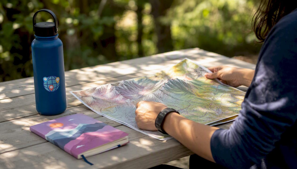
How teachers can use topography quizzes in class
Three classroom-ready uses that require minimal setup:
- Warm-up practice (5 minutes): Pull up a PurposeGames image quiz on the projector. Students call out answers together — low stakes, high engagement, and it primes spatial thinking before the main lesson.
- Formative exit ticket: A 5-question ProProfs auto-graded quiz at the end of class tells you immediately who understood contour intervals and who didn’t. No manual grading.
- Gamified leaderboard session: Gamification in university-level geomorphology courses using competitive quiz formats and leaderboards significantly boosted engagement. The same principle scales down to high school — a weekly leaderboard quiz turns map reading into something students actually look forward to.
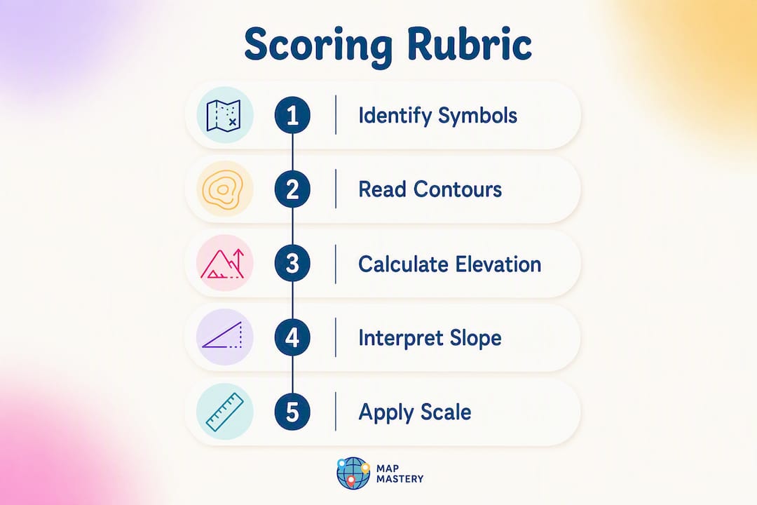
Simple scoring rubric for topography assessments
| Category | Full credit | Partial credit |
|---|---|---|
| Map reading accuracy | Correctly identifies contour interval, elevation, and symbols | Identifies 2 of 3 elements |
| Terrain interpretation | Accurately describes slope, relief, or water flow from map | Partially correct description |
| Speed (timed quizzes) | Completes within time limit | Completes with 1–2 extensions |
Most LMS platforms (Google Classroom, Canvas, Schoology) accept embedded ProProfs quiz links directly. PurposeGames quizzes can be shared via URL with no student account required.
Where to find and play topography quizzes right now
You don’t need to hunt for a textbook. These platforms have playable quizzes ready to go:
- Quizlet: Best for flashcard-style review and multiple choice. Free at the basic level; some sets require an account to save progress. Search “topographic maps” for hundreds of student-made sets.
- PurposeGames: Specializes in image-identification games — click the correct feature on a real map. No account needed to play. Great for visual learners and timed practice.
- ProProfs: Auto-graded quizzes with answer explanations. The Topographic Maps Review Quiz on ProProfs covers contour lines, elevation, and map symbols with immediate feedback. Free to play; account needed to create your own.
- Worldlecity: Not a topography quiz itself, but a daily city photo guessing game and image-based geography quizzes, no registration required. The selectable difficulty modes scale from casual practice to a real challenge. Good for building the visual place-recognition instincts that complement formal topography study.
- Study.com: Browser-based topographic map practice with no sign-up needed for basic quizzes — useful for quick homework checks.
For a deeper look at how these platforms compare across formats and difficulty, the map-based quiz games guide covers the full range.
Key Takeaways
A topography quiz tests your ability to read contour lines, interpret elevation, and extract terrain information from a 2D map — skills that stick best through short, frequent practice.
| Point | Details |
|---|---|
| Core skills tested | Contour lines, elevation, slope, map scale, symbols, and profile reading are the standard topics. |
| Typical quiz length | Most practice quizzes run 3–15 questions and take 5–15 minutes to complete. |
| Best study habit | Five minutes of daily active recall beats longer, infrequent cramming for spatial map skills. |
| Classroom use | Auto-graded exit tickets and gamified leaderboard sessions improve engagement and give instant feedback. |
| Worldlecity option | Worldlecity offers image-based geography quizzes with selectable difficulty, playable without registration. |
Worldlecity makes geography practice actually fun
If you’ve made it through the sample questions and want more, Worldlecity is worth bookmarking. The daily city photo game sharpens your visual geography instincts — you get a real photograph of a mystery city and six attempts to name it, with directional feedback after each guess. The image quizzes stack four difficulty modes, so you can ease in or go straight to hard mode.
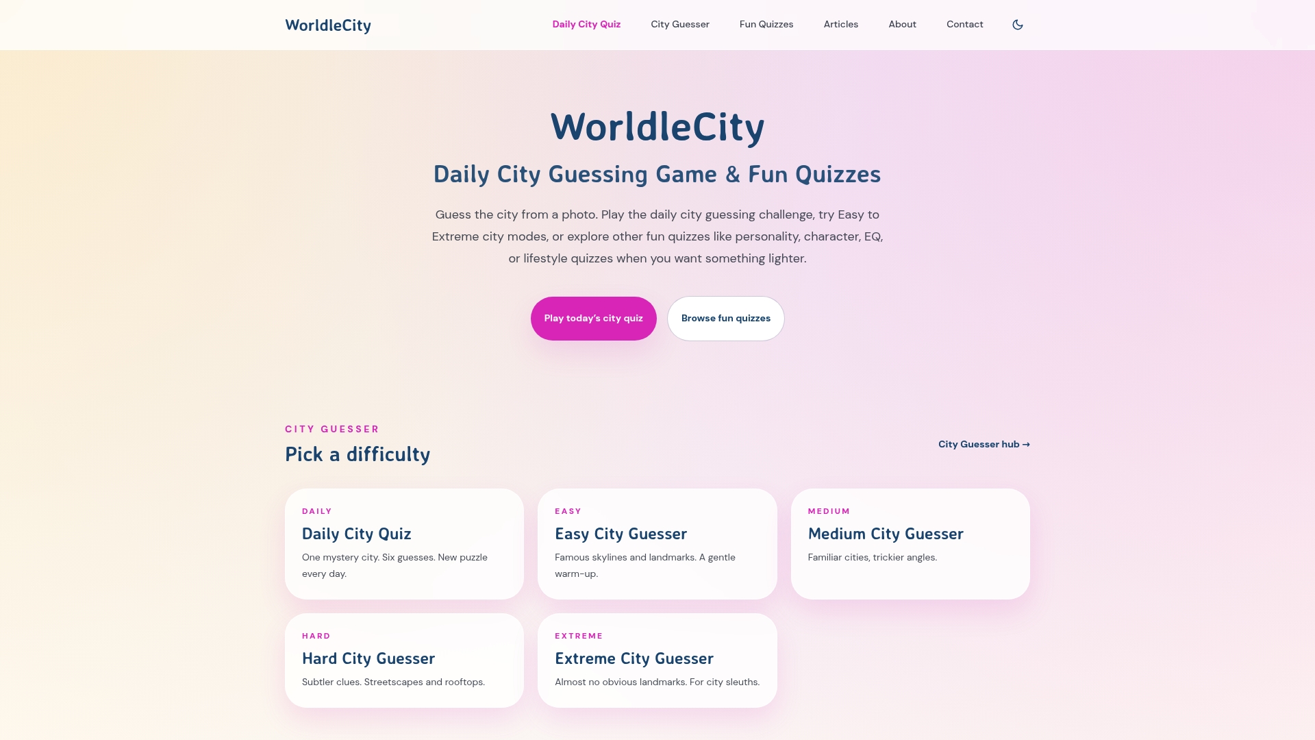
No account. No paywall. Just geography that feels more like a game than a chore. The selectable difficulty levels mean it works whether you’re reviewing for a quiz tomorrow or just killing five minutes between classes. Head to Worldlecity and try the daily challenge now.
Disclosure: Worldlecity is the publisher of this article.
Useful sources and further reading
These are the resources worth bookmarking for deeper study and direct practice:
| Resource | What it offers |
|---|---|
| Merriam-Webster: topography | Authoritative definition of topography — useful for understanding the term’s scope |
| USGS Topographic Maps (via FunTrivia) | Playable trivia quiz covering USGS map standards, scale, and contour interpretation |
| ProProfs Topographic Maps Review Quiz | Auto-graded quiz with answer explanations; good for self-assessment |
| Study.com Topographic Maps Practice | Free browser-based practice quiz, no account required |
| Geography & Math Made Easy: Why Map Quizzes? | Teacher-focused guide on using weekly map quizzes to build long-term retention |
| Worldlecity image quizzes | Daily city photo game and image-based geography quizzes, free and no registration needed |
FAQ
What is a topography quiz, exactly?
A topography quiz is a short assessment that tests your ability to read topographic maps and interpret physical land features like contour lines, elevation, and slope. Most quizzes run 3–15 questions and take under 15 minutes.
How hard is a topography test?
Difficulty ranges from middle-school level (identifying basic map symbols) to college level (calculating contour intervals or interpreting complex profiles). Most standard high school quizzes focus on contour spacing, elevation reading, and scale calculations like the 1:24,000 USGS standard.
Is a topography quiz the same as a corneal topography test?
No. A corneal topography test is a medical diagnostic that maps the shape of the eye’s cornea using color-coded imaging. A geography topography quiz tests landform and map-reading skills — completely unrelated fields that share the word “topography.”
What’s the best way to study for a topography quiz?
Short daily practice sessions beat cramming. Sketch contour profiles by hand, use spaced repetition flashcards on Quizlet, and time yourself on image-identification games to build speed and pattern recognition.
Do I need an account to play topography quizzes online?
Most platforms let you play without registering. PurposeGames and Study.com’s basic practice quizzes both run without an account, and Worldlecity’s geography games are free to play the same way. You only need to sign up if you want to save scores or create your own quiz sets.